Begin with the map as an object
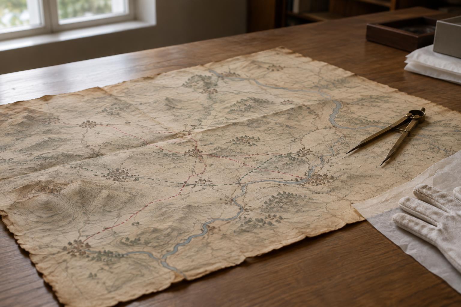
A campaign map seems to offer an immediate overview: lines cross a landscape, arrows indicate movement, and place names anchor a sequence of events. Yet a map is not a view from above the past. It is an object made by someone, for an audience, at a particular stage in the telling of a campaign. Before following its routes, look for a title, date, legend, scale, and any note identifying its maker or source. These details may reveal whether it was drawn during the events it depicts, reconstructed afterward, or simplified for an exhibition or book.
Purpose matters as much as age. A contemporary planning map, an official history, and a museum display may show the same region very differently. One might emphasize roads and distances; another might foreground a sequence of decisions. Even an accurate map must select what to include. Treat its clean lines as an invitation to ask questions, not as proof that movement or control on the ground was equally clear.
Read scale before reading movement
Scale tells you how much ground a small mark represents. On a regional map, a short line can cover a substantial distance, while a symbol for a town may occupy far more space than the town itself. Check whether the map gives a scale bar, a written ratio, or neither. If it has none, avoid drawing precise conclusions about distances from the page alone. Reproduction can also change the apparent size of a map, especially when an illustration is cropped or fitted into a display panel.
Scale affects what disappears. A broad map may show major rivers and cities but omit smaller crossings, settlements, and changes in terrain. A detailed map can reveal more local features, yet it may still leave out conditions that changed over time. Read the map at the level it supports: a regional overview is useful for understanding relative positions, but it cannot, by itself, explain every difficulty encountered along a route.
Follow routes without treating them as footsteps
Route lines are often summaries rather than literal tracks. A solid line, dashed line, and arrow may distinguish different movements, but their meanings depend on the legend. An arrow can indicate a general direction without identifying each place passed through. Where two routes appear to meet, the map may be compressing events separated in time. Read captions and accompanying text alongside the drawing, and check whether dates apply to departures, arrivals, or broader phases of the campaign.
The landscape around a line matters. Rivers, hills, roads, and settlements help explain why a route may bend rather than take the shortest apparent path. At the same time, a map rarely conveys changing weather, the condition of a road, or the experiences of people living along it. When comparing two maps of the same campaign, notice differences in place names, boundaries, and the routes chosen for emphasis. Such differences can reflect the maps’ sources and intended audiences as well as disagreements about events.
Look for what the map cannot show
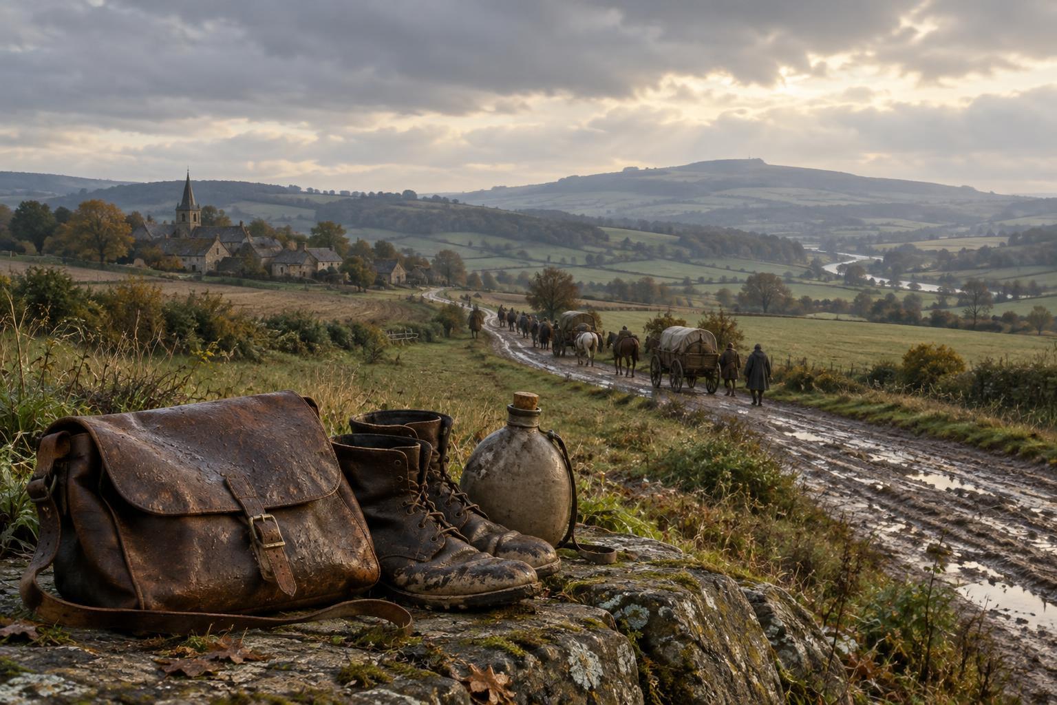
A campaign map often centers armies and commanders, leaving civilian life at the edges or outside the frame. Villages may appear only as labels, although their inhabitants experienced movement through the region in ways a route line cannot express. Maps may also leave out uncertainty. A crisp boundary or arrow can suggest knowledge that participants did not have at the time, particularly if the map was made long after the campaign.
To read critically, make a short inventory of both visible and absent information. What does the legend explain? Which features are named, and which are generalized? Does the map distinguish an intended route from a route later reconstructed? Are the dates and sources clear? These questions do not make the map less valuable. They help place it alongside written accounts, objects, and other maps as one kind of historical evidence: powerful for showing relationships across space, but incomplete on its own.